[et_pb_section fb_built=”1″ use_custom_width=”on” width_unit=”off” custom_width_percent=”90%” specialty=”on” _builder_version=”3.12″ background_color=”rgba(255,255,255,0.9)” background_size=”contain” background_position=”top_center” background_repeat=”repeat” background_blend=”overlay” custom_padding=”40px|0px|120px|0px|false|false” bottom_divider_style=”wave2″ bottom_divider_color=”#c3d1ff” bottom_divider_repeat=”2x”][et_pb_column type=”1_4″ _builder_version=”3.0.47″ parallax=”off” parallax_method=”on”][et_pb_sidebar _builder_version=”3.11.1″][/et_pb_sidebar][/et_pb_column][et_pb_column type=”3_4″ specialty_columns=”3″ _builder_version=”3.0.47″ parallax=”off” parallax_method=”on”][et_pb_row_inner custom_padding=”0|0px|29.6719px|0px|false|false” _builder_version=”3.11.1″][et_pb_column_inner type=”4_4″ saved_specialty_column_type=”3_4″ _builder_version=”3.0.47″ parallax=”off” parallax_method=”on”][et_pb_text _builder_version=”3.12″ header_font=”|700|||||||” header_text_align=”center”]
Haley’s Ferry
in Sabine National Forest
[/et_pb_text][et_pb_text admin_label=”forest menu” _builder_version=”3.0.106″ global_module=”44945″ saved_tabs=”all”]
- National forest Home
- Boles Field
- East Hamilton
- Haley’s Ferry
- Indian Mounds
- Lakeview
- Ragtown
- Red Hills Lake
- Trail Between the Lakes
- Trail GPS Waypoints
- Waypoint Maps
- Wilderness
- Willow Oak
- WMA Regulations
[/et_pb_text][/et_pb_column_inner][/et_pb_row_inner][et_pb_row_inner custom_padding=”33.6563px|0px|0|0px|false|false” admin_label=”Row” _builder_version=”3.0.47″][et_pb_column_inner type=”4_4″ saved_specialty_column_type=”3_4″ _builder_version=”3.0.47″ parallax=”off” parallax_method=”on”][et_pb_text _builder_version=”3.12″]
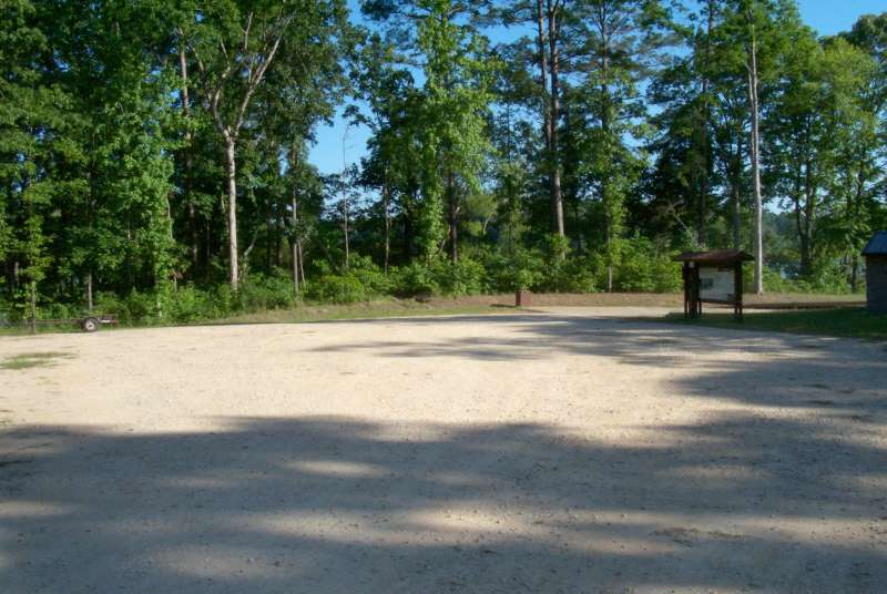
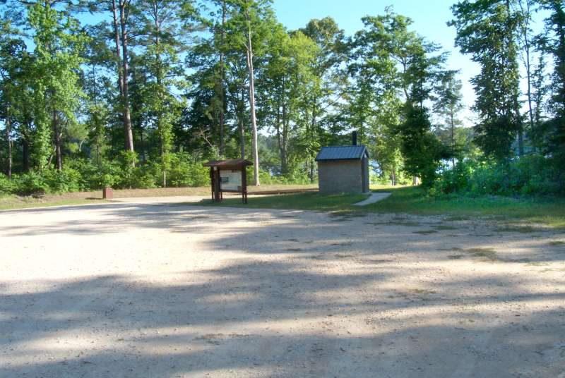
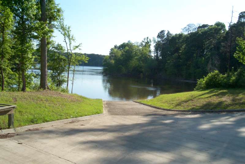
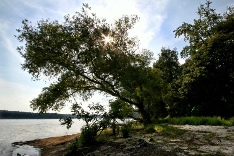
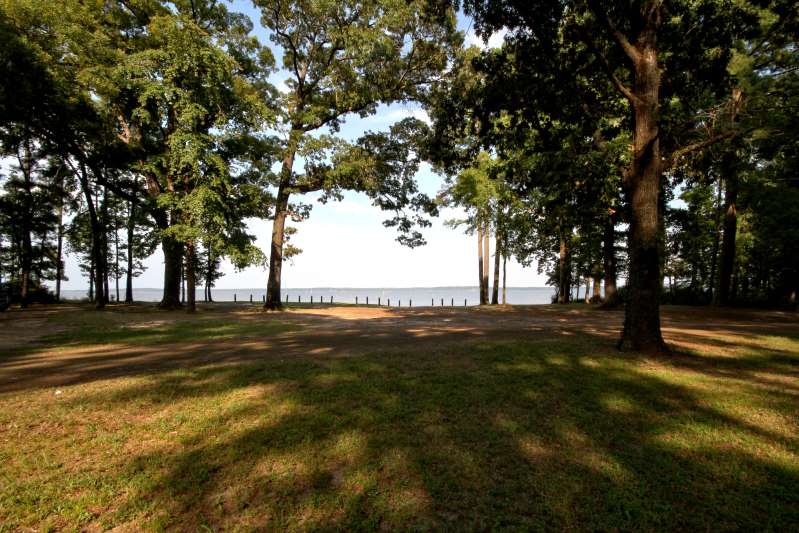
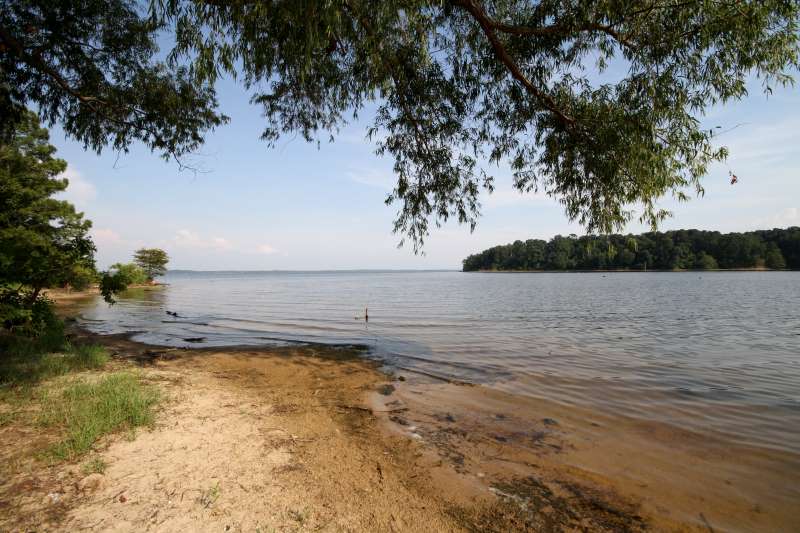
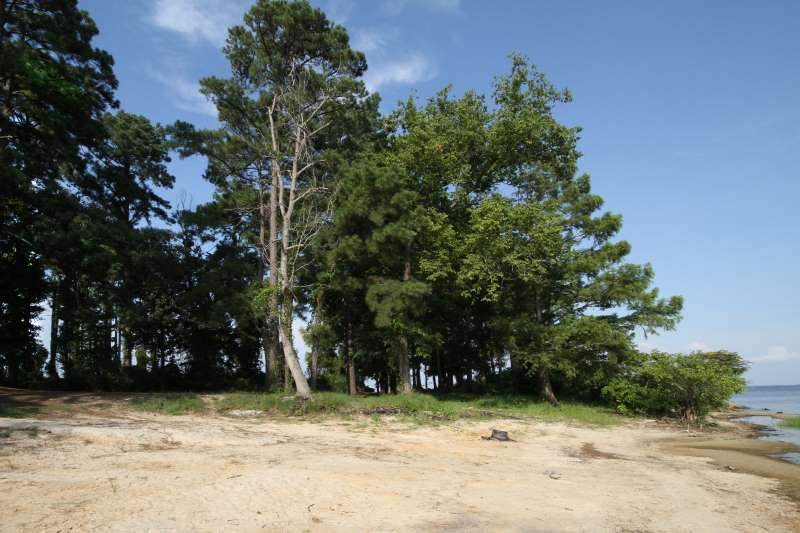
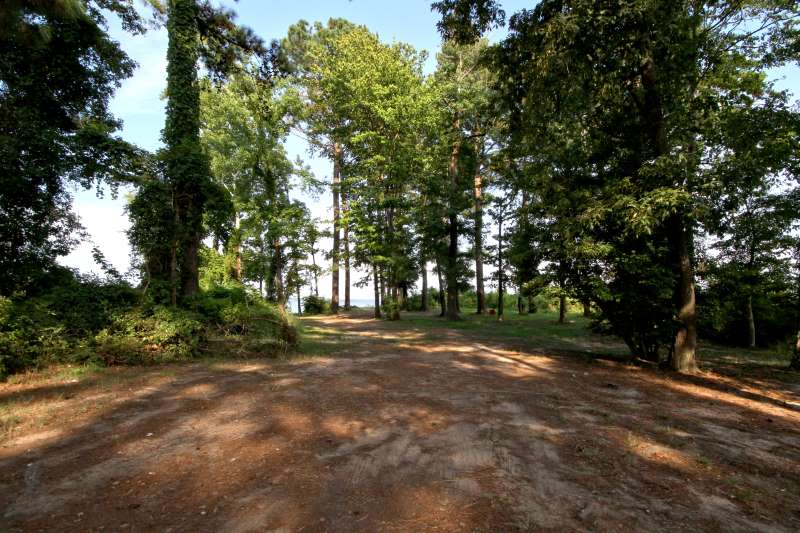
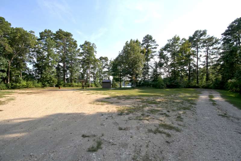
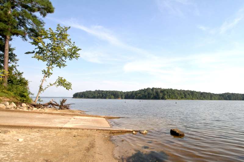
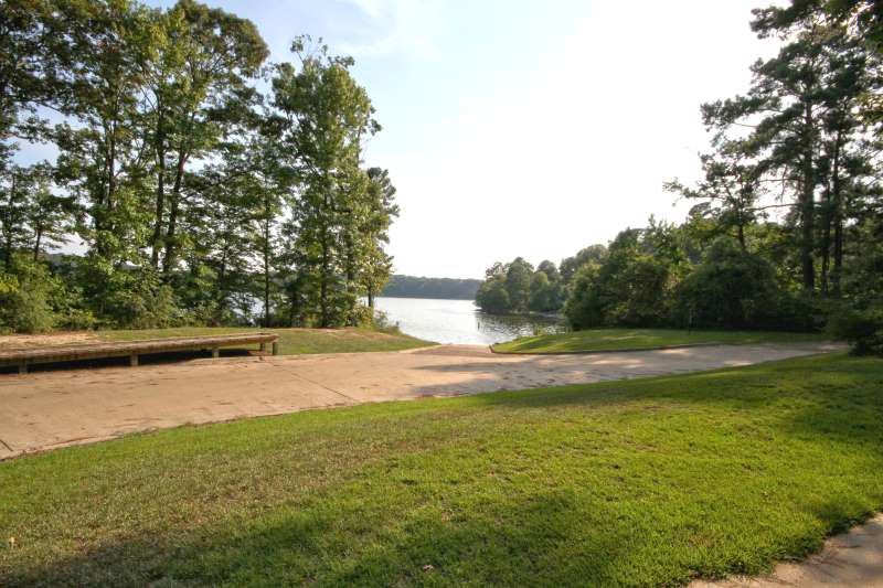
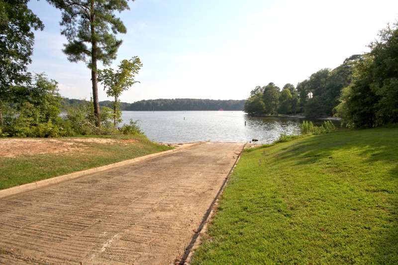
| Completed in 1996, this boat ramp offers access to Toledo Bend Reservoir throughout the year. No camping is allowed in the parking area. However, there are numerous dispersed camping spots in the area. While you should check on fees, from 2000 – June, 2010 they have held steady at $4 per campsite and $2 per vehicle for day use. | |
| Click on any image below for an enlargement |
[/et_pb_text][/et_pb_column_inner][/et_pb_row_inner][et_pb_row_inner custom_padding=”0|0px|0|0px|false|false” admin_label=”Row” _builder_version=”3.0.47″][et_pb_column_inner type=”4_4″ saved_specialty_column_type=”3_4″ _builder_version=”3.0.47″ parallax=”off” parallax_method=”on”][et_pb_text _builder_version=”3.12″]
Directions:
[/et_pb_text][et_pb_text module_class=”float-to-right” _builder_version=”3.12″]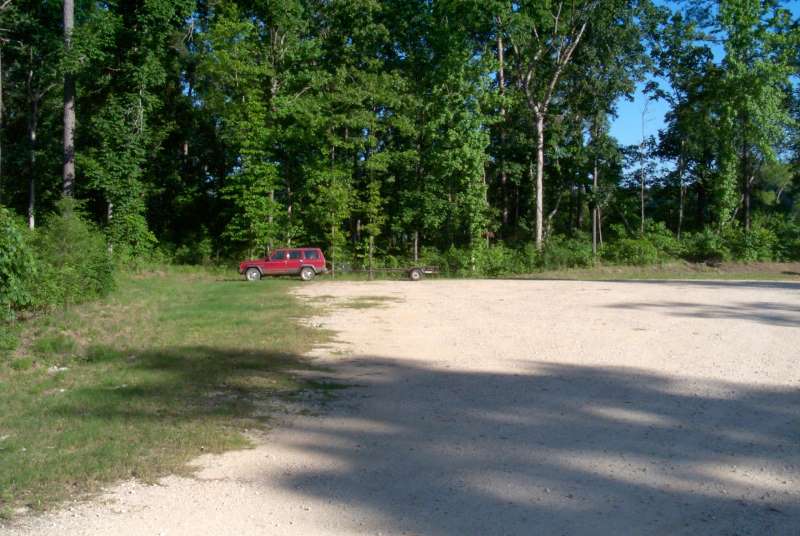
[/et_pb_text][et_pb_text _builder_version=”3.12″]From Center, Tx: Take Highway 87 South 4 miles to Shelbyville, TX
From Hemphill, TX: Take Highway 87 North 32 miles to Shelbyville, TX
- From Shelbyville, TX:
- Take Highway 417 East 1.3 miles to Highway 2694
- Take Highway 2694 East for 11.9 miles to Highway 3172 (Huxley)
- Turn South on 3172 and go 1.5 miles to FS100A (paved road on left – may or may not have sign)
- Turn East onto FS100A and go 2 miles to boat launch area. The paved road turns into a gravel road about 1/2 way.
[/et_pb_text][/et_pb_column_inner][/et_pb_row_inner][et_pb_row_inner admin_label=”Row” _builder_version=”3.0.47″][et_pb_column_inner type=”4_4″ saved_specialty_column_type=”3_4″ _builder_version=”3.0.47″ parallax=”off” parallax_method=”on”][et_pb_text _builder_version=”3.12″]
 |  |
 |  |
 |  |
 |  |
 |  |
 |  |
| USDA FOREST SERVICE YELLOWPINE RANGER DISTRICT P.O. BOX F HEMPHILL, TEXAS 75948 (409) 787-3870 | For further information on Haley’s Ferry, contact: Sabine River Authority of Texas Route 1 Box 270 Burkeville, TX 75932 (409) 565-2273 |
[/et_pb_text][/et_pb_column_inner][/et_pb_row_inner][/et_pb_column][/et_pb_section]