[et_pb_section fb_built=”1″ specialty=”on” _builder_version=”3.22″ background_color=”rgba(255,255,255,0.9)” background_size=”contain” background_position=”top_center” background_repeat=”repeat” background_blend=”overlay” inner_width=”90%” inner_max_width=”90%” custom_padding=”40px|0px|120px|0px|false|false” bottom_divider_style=”wave2″ bottom_divider_color=”#c3d1ff” bottom_divider_repeat=”2x” use_custom_width=”on” width_unit=”off” custom_width_percent=”90%”][et_pb_column type=”1_4″ _builder_version=”3.25″ custom_padding=”|||” custom_padding__hover=”|||”][et_pb_sidebar _builder_version=”3.11.1″][/et_pb_sidebar][/et_pb_column][et_pb_column type=”3_4″ specialty_columns=”3″ _builder_version=”3.25″ custom_padding=”|||” custom_padding__hover=”|||”][et_pb_row_inner _builder_version=”3.25″ custom_padding=”0|0|0|0″][et_pb_column_inner saved_specialty_column_type=”3_4″ _builder_version=”3.25″ custom_padding=”|||” custom_padding__hover=”|||”][et_pb_text _builder_version=”3.27.4″ header_font=”|700|||||||” header_text_align=”center”]
Cypress Bend Nature Trail
[/et_pb_text][et_pb_text admin_label=”trail menu” _builder_version=”3.0.106″ global_module=”45116″ saved_tabs=”all”]
- Canyon Rim Woodlands Trail
- Cypress Bend Nature Trail
- Hodges Gardens Wild Azalea Trail
- Stoker Hills Hiking Trail
- Trail Between The Lakes
- Wild Azalea Canyons
- Wild Azalea Canyons Map
[/et_pb_text][et_pb_text _builder_version=”3.27.4″]
Click on any image for an enlargement
[/et_pb_text][/et_pb_column_inner][/et_pb_row_inner][et_pb_row_inner admin_label=”Row” _builder_version=”3.25″][et_pb_column_inner saved_specialty_column_type=”3_4″ _builder_version=”3.25″ custom_padding=”|||” custom_padding__hover=”|||”][et_pb_text module_class=”float-to-left” _builder_version=”3.27.4″]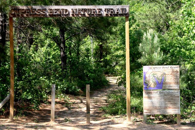
[/et_pb_text][et_pb_text _builder_version=”3.27.4″]
-CLOSED-
Unfortunately, the Cypress Bend Nature Trail is no longer open. The information about it is left for reference.
Cypress Bend Golf Resort has put in a hiking trail that is really excellent. One of the best features is that the trail can be taken in sections – so you can do an easy 1.1 miles on section 1 – go through all 5 sections for a total of 6.1 miles. Hike it – or bike it; mountain bikes are permitted!
The trail is open to hikers and use of mountain bikes is also permitted. There is no charge for hikers on this trail; there is a nominal charge for mountain bilkers. There is no charge for guests of Cypress Bend Resort.
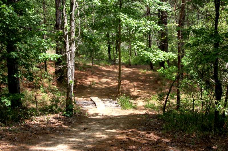
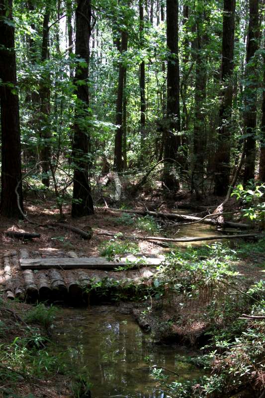
The trail is a pleasant, easy walk for the most part – there are some hills and valleys, but none very challenging. The occasional streams (very, very small streams) and drainage areas do have bridges over them – including a ramp for mountain bikers.
The trail opened in May, 2010 and was used competitively in November 2010 when Cypress Bend Resort hosted the 1st annual Battle At The Bend cross country mountain bike race which was sanctioned by USAC (USA Cycling). Plans are to continue the event.
[/et_pb_text][/et_pb_column_inner][/et_pb_row_inner][et_pb_row_inner admin_label=”Row” _builder_version=”3.25″ custom_padding=”0|0px|0|0px” column_structure=”1_2,1_2″][et_pb_column_inner type=”1_2″ saved_specialty_column_type=”3_4″ _builder_version=”3.25″ custom_padding=”|||” custom_padding__hover=”|||”][et_pb_text _builder_version=”3.27.4″]
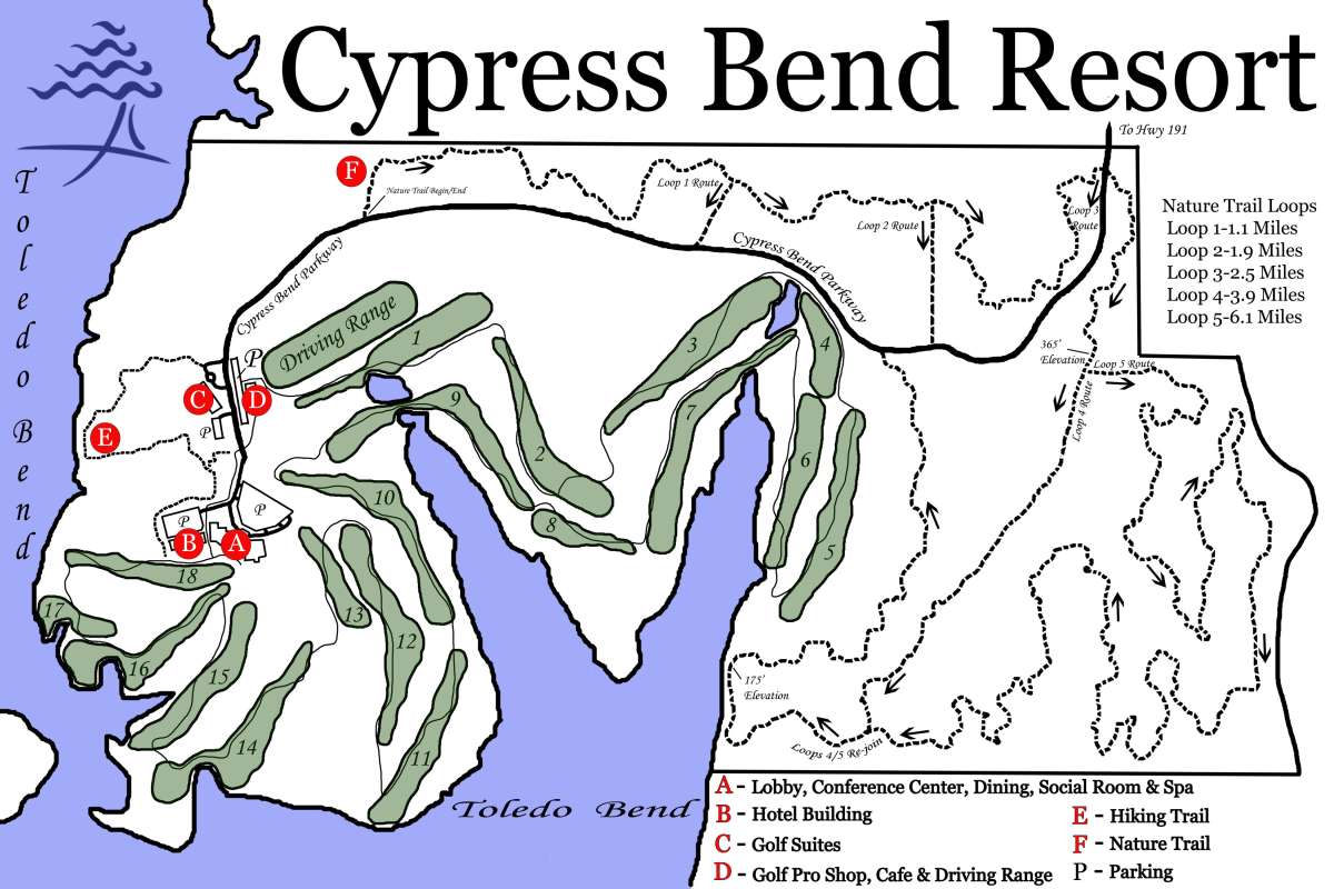 Map furnished by Cypress Bend Resort
[/et_pb_text][/et_pb_column_inner][et_pb_column_inner type=”1_2″ saved_specialty_column_type=”3_4″ _builder_version=”3.25″ custom_padding=”|||” custom_padding__hover=”|||”][et_pb_text _builder_version=”3.27.4″]
TRAIL MAP
- Loop 1: 1.1 Miles
- Loop 2: 1.9 Miles
- Loop 3: 2.5 Miles
- Loop 4: 3.9 Miles
- Loop 5: 6.1 Miles
[/et_pb_text][/et_pb_column_inner][/et_pb_row_inner][et_pb_row_inner admin_label=”Row” _builder_version=”3.25″][et_pb_column_inner saved_specialty_column_type=”3_4″ _builder_version=”3.25″ custom_padding=”|||” custom_padding__hover=”|||”][et_pb_text _builder_version=”3.27.4″]
Trail Rules:
- Trail users must check in at Front Desk of Cypress Bend Resort and obtain a Trail Pass
- Riders must sign a waiver prior to riding
- Riders must wear a helmet at all times
- Trails are one-way traffic only
- Hikers and walking riders must yield to active riders
- Stay on center path when crossing bridges
- No motorized vehicles except official Cypress Bend Resort vehicles
- Be safe and alert! Do not ride faster than your skill level allows.
- Yield to vehicles when crossing Cypress Bend Parkway
- Please do not litter!
- Report violators at Front Desk.
[/et_pb_text][/et_pb_column_inner][/et_pb_row_inner][et_pb_row_inner admin_label=”Row” _builder_version=”3.25″ custom_padding=”0|0px|0|0px” column_structure=”1_2,1_2″][et_pb_column_inner type=”1_2″ saved_specialty_column_type=”3_4″ _builder_version=”3.25″ custom_padding=”|||” custom_padding__hover=”|||”][et_pb_text _builder_version=”3.27.4″]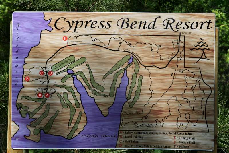
[/et_pb_text][et_pb_text _builder_version=”3.27.4″]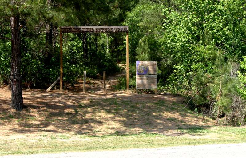
[/et_pb_text][/et_pb_column_inner][et_pb_column_inner type=”1_2″ saved_specialty_column_type=”3_4″ _builder_version=”3.25″ custom_padding=”|||” custom_padding__hover=”|||”][et_pb_text _builder_version=”3.27.4″]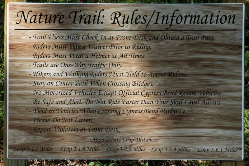
[/et_pb_text][et_pb_text _builder_version=”3.27.4″]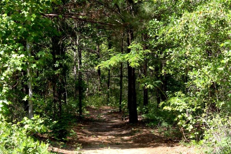
[/et_pb_text][/et_pb_column_inner][/et_pb_row_inner][et_pb_row_inner admin_label=”Row” _builder_version=”3.25″ custom_padding=”0|0px|33.6563px|0px”][et_pb_column_inner saved_specialty_column_type=”3_4″ _builder_version=”3.25″ custom_padding=”|||” custom_padding__hover=”|||”][et_pb_text _builder_version=”3.27.4″]
Directions
[/et_pb_text][/et_pb_column_inner][/et_pb_row_inner][et_pb_row_inner admin_label=”Row” _builder_version=”3.25″ custom_padding=”33.6563px|0px|0|0px” column_structure=”1_2,1_2″][et_pb_column_inner type=”1_2″ saved_specialty_column_type=”3_4″ _builder_version=”3.25″ custom_padding=”|||” custom_padding__hover=”|||”][et_pb_text _builder_version=”3.27.4″]Cypress Bend Golf Resort
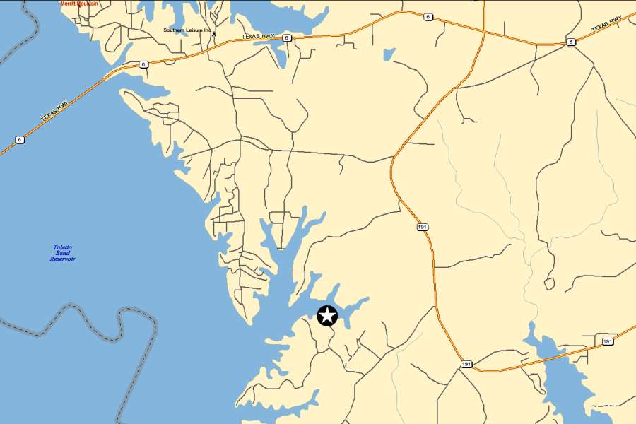
Turn off of La 191, between the 28 and 29 mile markers, onto Cypress Bend Road. Go 1.5 miles on Cypress Bend Road you will see the entrance to Cypress Bend Golf Resort – Cypress Bend Parkway. Cypress Bend Parkway ends at Cypress Bend Golf Resort.
Cypress Bend Road is 3 miles South of the junction of Louisiana Highway 6 and Louisiana Highway 191.
[/et_pb_text][/et_pb_column_inner][et_pb_column_inner type=”1_2″ saved_specialty_column_type=”3_4″ _builder_version=”3.25″ custom_padding=”|||” custom_padding__hover=”|||”][et_pb_text _builder_version=”3.27.4″]
Cypress Bend Nature Trail
The Cypress Bend Nature Trail begins beside Cypress Bend Parkway a short distance from the Pro Shop and on the opposite side of the Parkway.
[/et_pb_text][/et_pb_column_inner][/et_pb_row_inner][et_pb_row_inner admin_label=”Row” _builder_version=”3.25″][et_pb_column_inner saved_specialty_column_type=”3_4″ _builder_version=”3.25″ custom_padding=”|||” custom_padding__hover=”|||”][et_pb_text _builder_version=”3.27.4″]
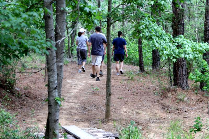
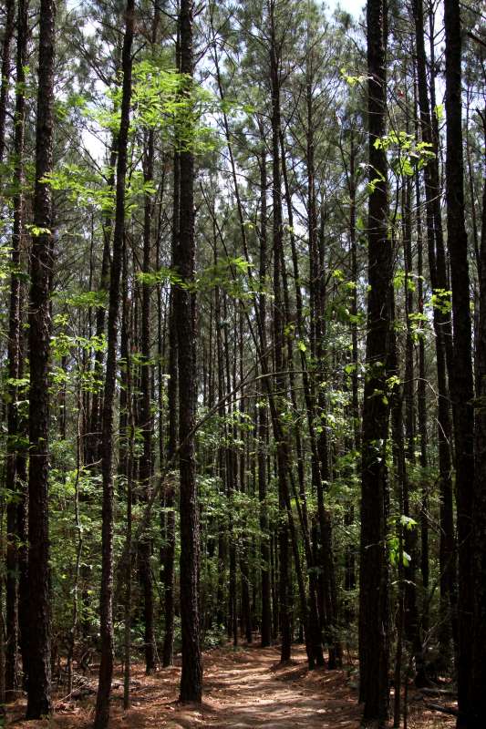
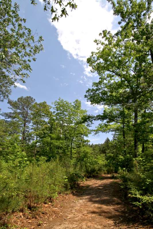
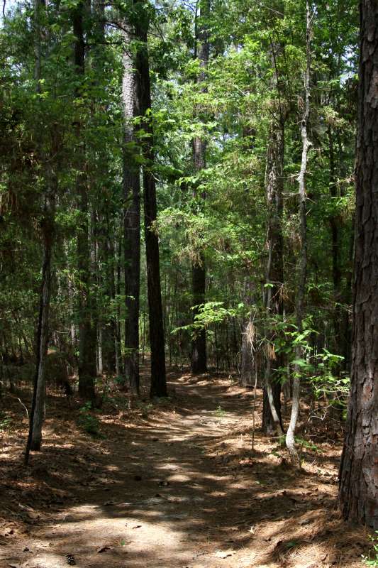
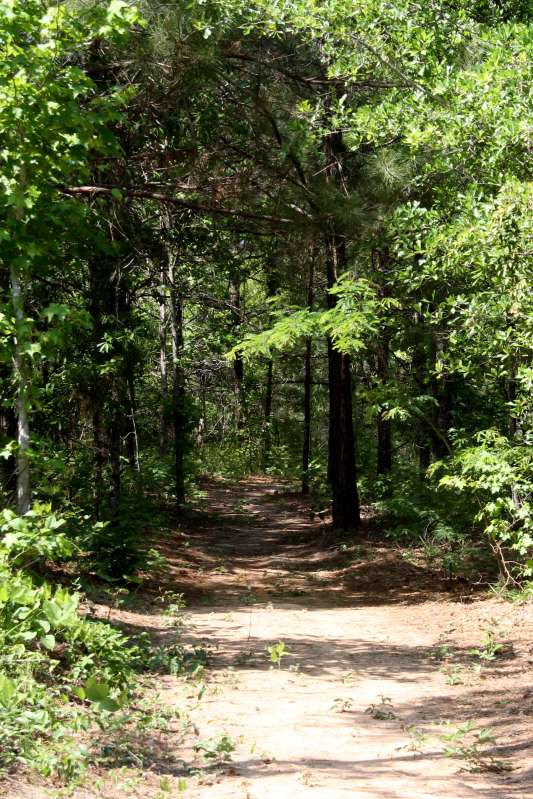
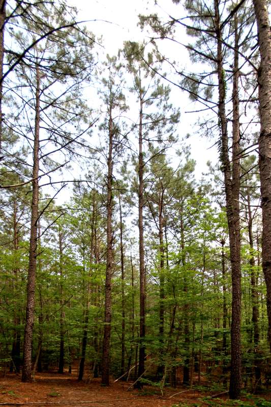
Pictures from the trail…
[/et_pb_text][et_pb_text _builder_version=”3.27.4″]
 |  | ||||||
|
[/et_pb_text][/et_pb_column_inner][/et_pb_row_inner][/et_pb_column][/et_pb_section]