[et_pb_section fb_built=”1″ use_custom_width=”on” width_unit=”off” custom_width_percent=”90%” specialty=”on” _builder_version=”3.12″ background_color=”rgba(255,255,255,0.9)” background_size=”contain” background_position=”top_center” background_repeat=”repeat” background_blend=”overlay” custom_padding=”40px|0px|120px|0px|false|false” bottom_divider_style=”wave2″ bottom_divider_color=”#c3d1ff” bottom_divider_repeat=”2x”][et_pb_column type=”1_4″ _builder_version=”3.0.47″ parallax=”off” parallax_method=”on”][et_pb_sidebar _builder_version=”3.11.1″]
[/et_pb_sidebar][/et_pb_column][et_pb_column type=”3_4″ specialty_columns=”3″ _builder_version=”3.0.47″ parallax=”off” parallax_method=”on”][et_pb_row_inner custom_padding=”0|0px|29.6719px|0px|false|false” _builder_version=”3.11.1″][et_pb_column_inner type=”4_4″ saved_specialty_column_type=”3_4″ _builder_version=”3.0.47″ parallax=”off” parallax_method=”on”][et_pb_text _builder_version=”3.0.106″ header_font=”|700|||||||” header_text_align=”center”]
Boles Field Recreation Area
[/et_pb_text][et_pb_text _builder_version=”3.0.106″ header_font=”|700|||||||” header_text_align=”center”]
in Sabine National Forest
[/et_pb_text][et_pb_text admin_label=”waypoint” _builder_version=”3.0.106″ global_module=”45181″ saved_tabs=”all”]
- National forest Home
- Boles Field
- East Hamilton
- Haley’s Ferry
- Indian Mounds
- Lakeview
- Ragtown
- Red Hills Lake
- Trail Between the Lakes
- Trail GPS Waypoints
- Waypoint Maps
- Wilderness
- Willow Oak
- WMA Regulations
[/et_pb_text][et_pb_text _builder_version=”3.0.106″]Boles Field is located on the northern Sabine National Forest about 8 miles East of Shelbyville, Texas.
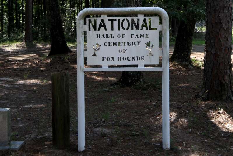
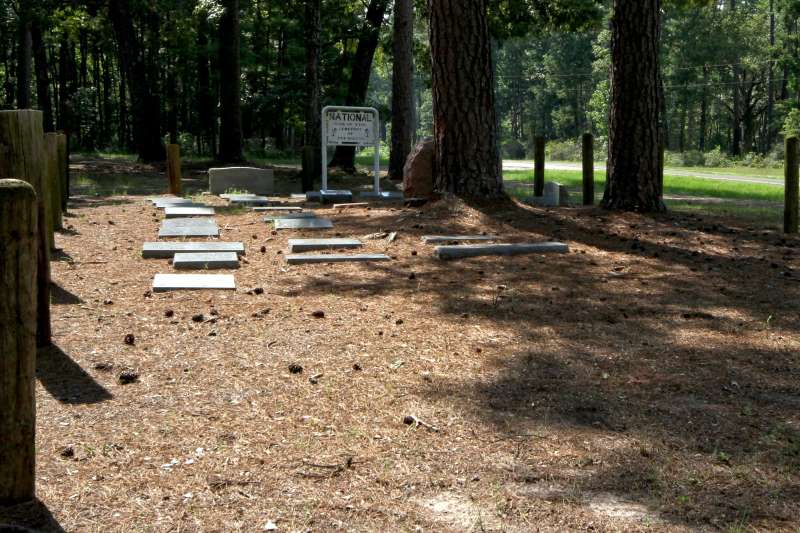
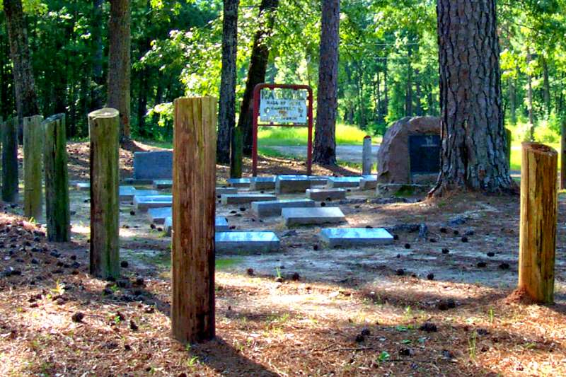
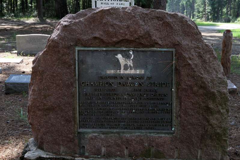
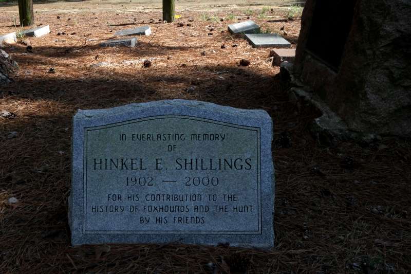
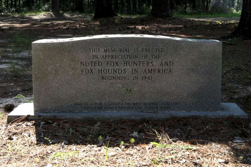
The area centers around a cemetery for fox hounds established at the turn of the century. There are 27 dogs buried here representing Arkansas, California, Florida, Indiana, Kansas, Louisiana, Mississippi, Missouri, North Carolina, Texas, and Virginia.
[/et_pb_text][et_pb_text _builder_version=”3.0.106″]
~ Click on any image for enlargement ~
[/et_pb_text][/et_pb_column_inner][/et_pb_row_inner][et_pb_row_inner admin_label=”Row” _builder_version=”3.0.47″][et_pb_column_inner type=”4_4″ saved_specialty_column_type=”3_4″ _builder_version=”3.0.47″ parallax=”off” parallax_method=”on”][et_pb_text _builder_version=”3.0.106″]
 |  |
 |  |
 |  |
[/et_pb_text][et_pb_text _builder_version=”3.0.106″]
Directions:
From Center, Tx: Take Highway 87 South 4 miles to Shelbyville, TX
From Hemphill, TX: Take Highway 87 North 32 miles to Shelbyville, TX
- From Shelbyville, TX:
- Take Highway 417 East 1.3 miles to Highway 2694
- Take Highway 2694 for 5.4 miles to Boles Field. NOTE: Parts of Boles Field Recreation Site are on BOTH sides of the highway.
[/et_pb_text][et_pb_text module_class=”float-to-right” _builder_version=”3.0.106″]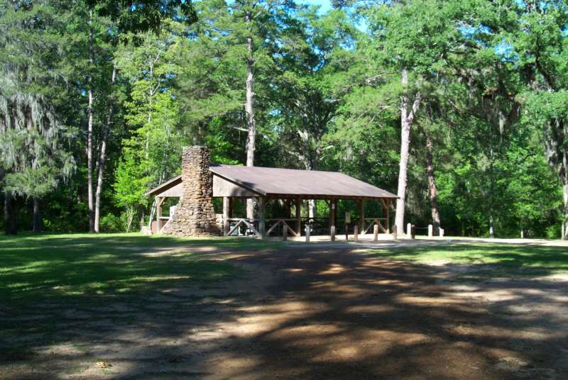
[/et_pb_text][et_pb_text _builder_version=”3.0.106″]The area is a tradition with local fox hunters who organize their hunting events in the area. Boles Field offers excellent opportunities for hunting in the nearby forest. Visitors can hike to the spring nearby. In consideration of other visitors, no off-road vehicles may be ridden in the campground.
[/et_pb_text][et_pb_text _builder_version=”3.0.106″]
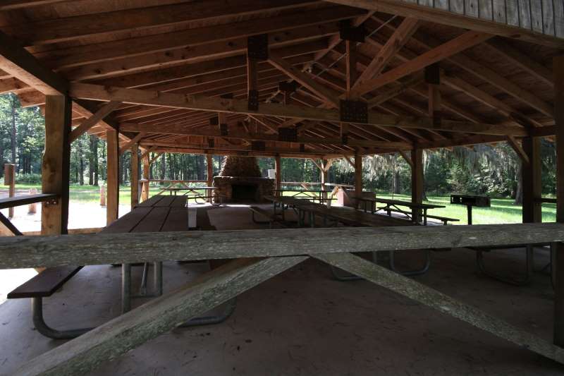 | 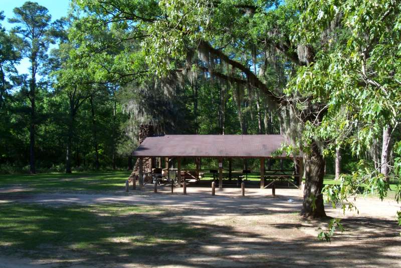 |
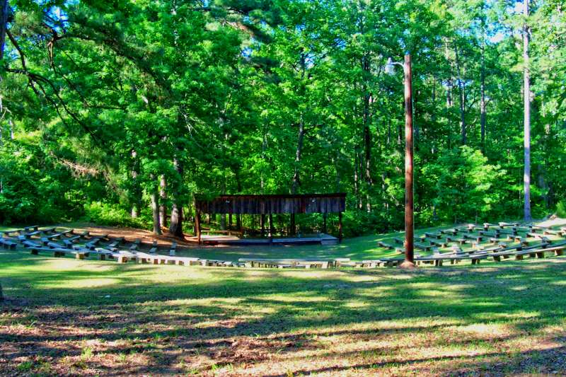
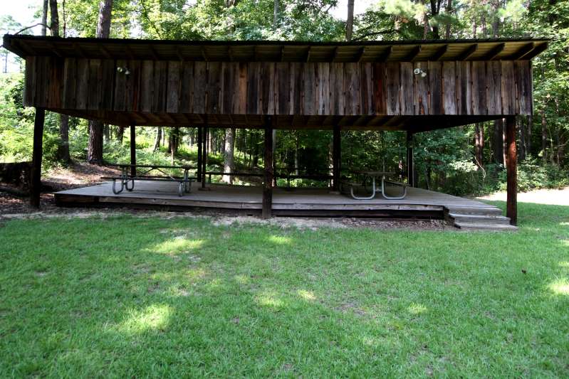
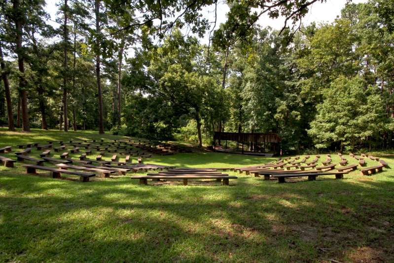
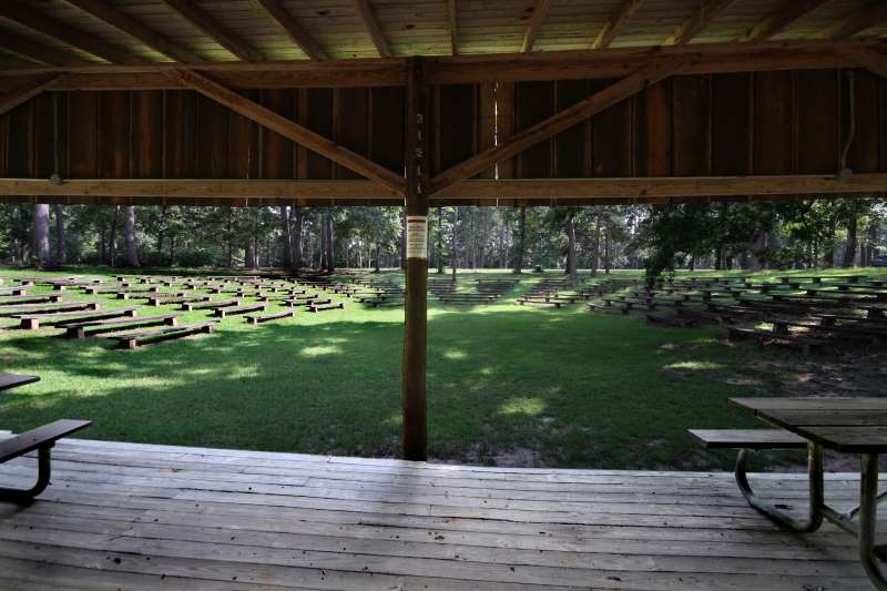
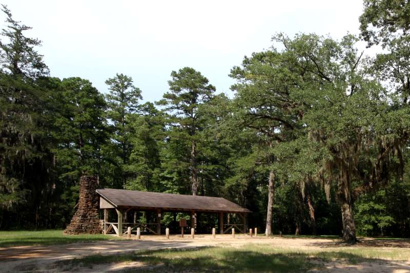 | A covered shelter and an amphitheater are available for group reservation. Reservations should be made early as the area is popular with many groups. |
 |  |
 |  |
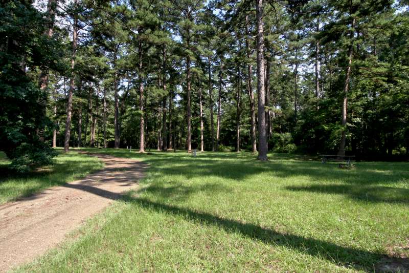
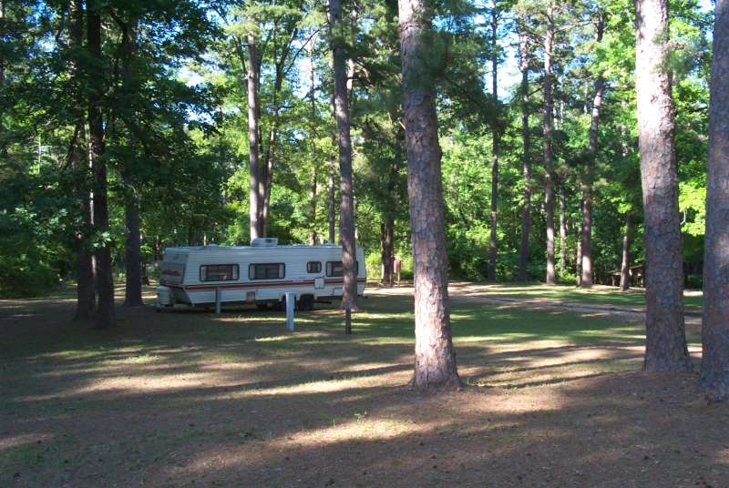
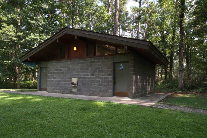
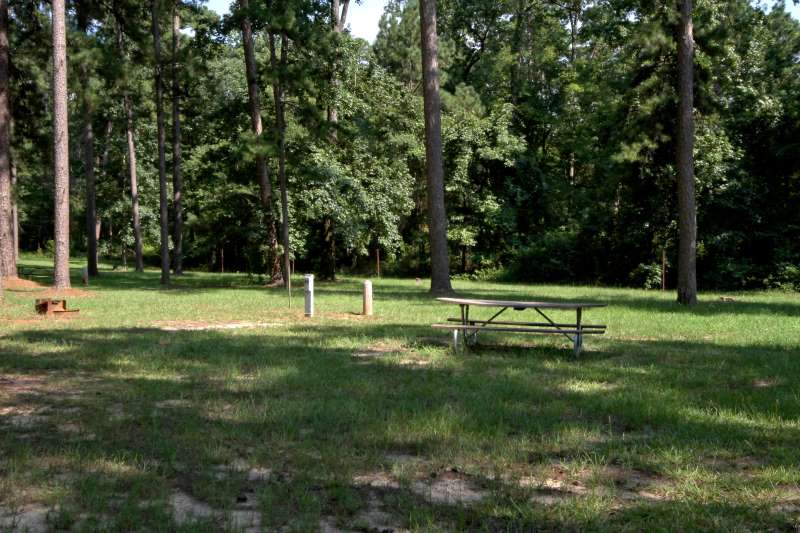
| Boles Field offers camping with electric hookups and picnicking. The area is open all year, by reservation. Whether in an RV or tent camping, visitors have a number of campsites to choose from. Drinking water, toilet facilities and hot showers are available within a short distance of each camping site. | |
| This facility is open all year and provides tent and RV camping areas. | 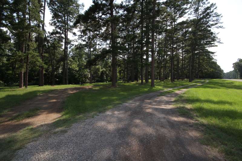 |
 |  |
 |  |
[/et_pb_text][et_pb_text _builder_version=”3.0.106″]
For further information on Boles Field Recreation Area, contact:
USDA FOREST SERVICE
YELLOWPINE RANGER DISTRICT
P.O. BOX F
HEMPHILL, TEXAS 75948
(409) 787-3870
[/et_pb_text][/et_pb_column_inner][/et_pb_row_inner][/et_pb_column][/et_pb_section]