[et_pb_section bb_built=”1″ background_color=”rgba(255,255,255,0.9)” use_custom_width=”on” width_unit=”off” custom_width_percent=”90%” specialty=”on” _builder_version=”3.12″ background_size=”contain” background_position=”top_center” background_repeat=”repeat” background_blend=”overlay” custom_padding=”40px|0px|120px|0px|false|false” bottom_divider_style=”wave2″ bottom_divider_color=”#c3d1ff” bottom_divider_repeat=”2x”][et_pb_column type=”1_4″][et_pb_sidebar _builder_version=”3.11.1″]
[/et_pb_sidebar][/et_pb_column][et_pb_column type=”3_4″ specialty_columns=”3″][et_pb_row_inner custom_padding=”0|0px|29.6719px|0px|false|false” _builder_version=”3.11.1″][et_pb_column_inner type=”4_4″ saved_specialty_column_type=”3_4″][et_pb_text _builder_version=”3.0.106″ header_font=”|700|||||||” header_text_align=”center” background_layout=”light”]
Bubba Cowser – SRA TX Rec Site #2
[/et_pb_text][et_pb_text admin_label=”SRA menu” _builder_version=”3.0.106″ saved_tabs=”all” global_module=”44959″ background_layout=”light”]
- SRA Parks Home
- Bubba Cowser
- Clyde’s Crossing
- Converse Bay
- Cow Bayou Park
- Cypress Bend
- Dam Area
- Memorial Garden
- North Toledo Bend WMA
- Oak Ridge
- Pleasure Point
- Sam Forse Collins
- San Miguel
- San Patrico
- Swede Johnson
- Tourist Information Center
[/et_pb_text][et_pb_text _builder_version=”3.0.106″ background_layout=”light” module_class=”float-to-right”]
[/et_pb_text][et_pb_text _builder_version=”3.0.106″ background_layout=”light”]
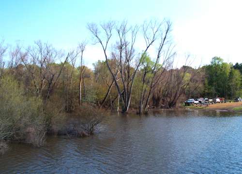
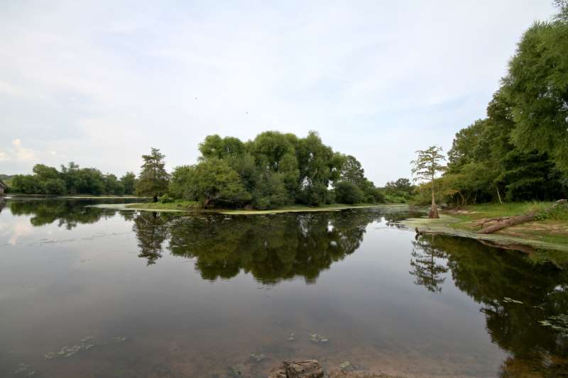
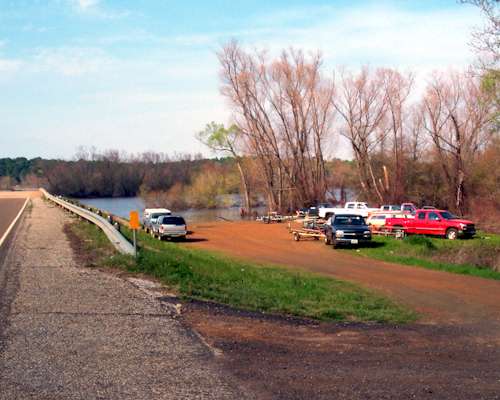
Located on Tenaha Creek, Tx. in Shelby County, the park is owned and operated by the Sabine River Authority of Texas. (409) 565-2273Located on Toledo Bend Reservoir.
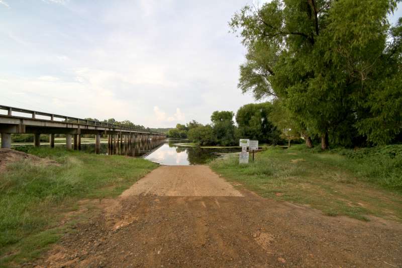
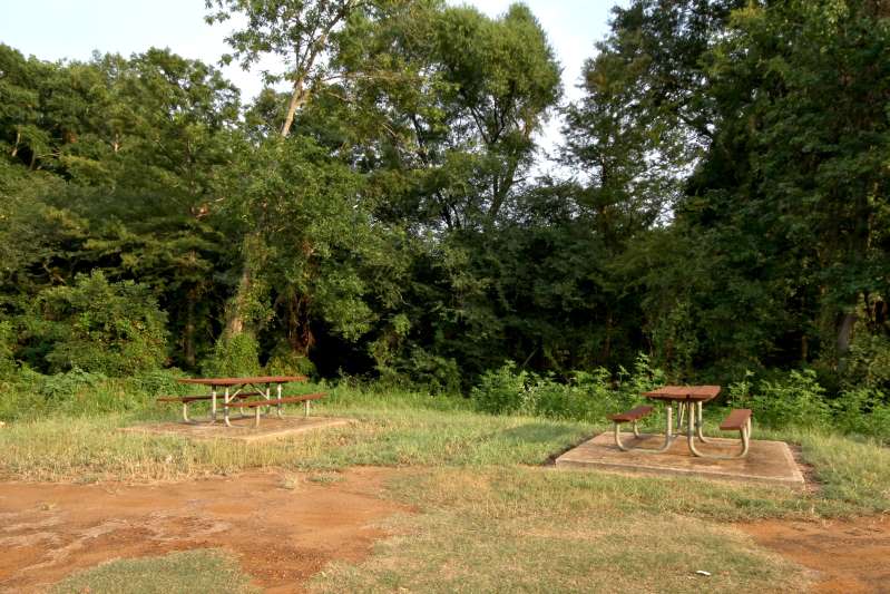
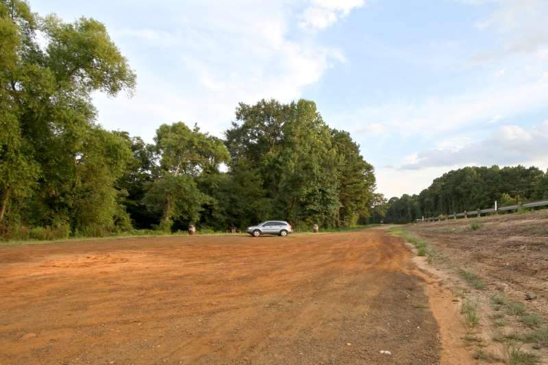
The park has a boat ramp, picnic tables, and a small parking lot.
[/et_pb_text][et_pb_text _builder_version=”3.0.106″ background_layout=”light”]
Directions:
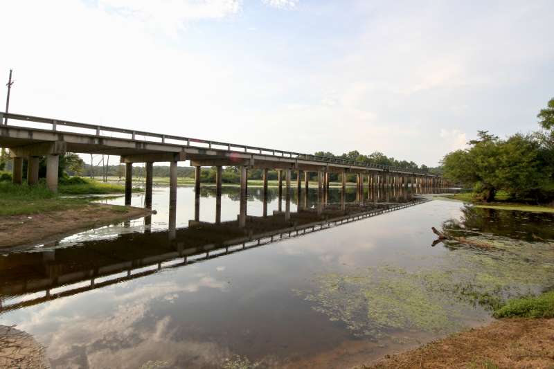
- From Joaquin – the junction of Texas 7 and Texas FM 139 go South on Tx FM 139 for 11.2 miles to Tenaha Creek. The park is on the South side of the bridge.
- From Shelbyville – the junction of Texas 87 and Texas FM 417 go East on Tx FM 417 for 11.4 miles to junction Tx FM 417 / Tx FM 139. Turn North (left) onto Tx FM 139 and go 1.8 miles to Tenaha Creek. The park is on the South side of the bridge.
[/et_pb_text][/et_pb_column_inner][/et_pb_row_inner][et_pb_row_inner admin_label=”Row”][et_pb_column_inner type=”4_4″ saved_specialty_column_type=”3_4″][et_pb_text _builder_version=”3.0.106″ background_layout=”light”]
Click any image for an enlargement
[/et_pb_text][et_pb_text _builder_version=”3.0.106″ background_layout=”light”]
 |  |
 |  |
 |  |
 |  |
[/et_pb_text][et_pb_text _builder_version=”3.0.106″ background_layout=”light”]
Photos by Frank Dutton – Toledo-Bend.Com
[/et_pb_text][/et_pb_column_inner][/et_pb_row_inner][/et_pb_column][/et_pb_section]