[et_pb_section fb_built=”1″ use_custom_width=”on” width_unit=”off” custom_width_percent=”90%” specialty=”on” _builder_version=”3.12″ background_color=”rgba(255,255,255,0.9)” background_size=”contain” background_position=”top_center” background_repeat=”repeat” background_blend=”overlay” custom_padding=”40px|0px|120px|0px|false|false” bottom_divider_style=”wave2″ bottom_divider_color=”#c3d1ff” bottom_divider_repeat=”2x”][et_pb_column type=”1_4″ _builder_version=”3.0.47″][et_pb_sidebar _builder_version=”3.11.1″]
[/et_pb_sidebar][/et_pb_column][et_pb_column type=”3_4″ specialty_columns=”3″ _builder_version=”3.0.47″][et_pb_row_inner custom_padding=”0|0px|29.6719px|0px|false|false” _builder_version=”3.11.1″][et_pb_column_inner type=”4_4″ saved_specialty_column_type=”3_4″ _builder_version=”3.0.47″][et_pb_text _builder_version=”3.12″ header_font=”|700|||||||” header_text_align=”center”]
Canyon Rim Woodlands Trail
[/et_pb_text][et_pb_text admin_label=”canyon menu” _builder_version=”3.12″ global_module=”45143″ saved_tabs=”all”]
- Canyon Rim Woodlands Trail
- Cypress Bend Nature Trail
- Hodges Gardens Wild Azalea Trail
- Stoker Hills Hiking Trail
- Trail Between The Lakes
- Wild Azalea Canyons
- Wild Azalea Canyons Map
[/et_pb_text][/et_pb_column_inner][/et_pb_row_inner][et_pb_row_inner custom_padding=”0|0px|0|0px|false|false” admin_label=”Row” _builder_version=”3.0.47″][et_pb_column_inner type=”4_4″ saved_specialty_column_type=”3_4″ _builder_version=”3.0.47″][et_pb_text _builder_version=”3.12″]
Click on any image for an enlargement
[/et_pb_text][/et_pb_column_inner][/et_pb_row_inner][et_pb_row_inner custom_padding=”33.6563px|0px|0|0px|false|false” admin_label=”Row” _builder_version=”3.0.47″][et_pb_column_inner type=”1_2″ saved_specialty_column_type=”3_4″ _builder_version=”3.0.47″][et_pb_text _builder_version=”3.12″]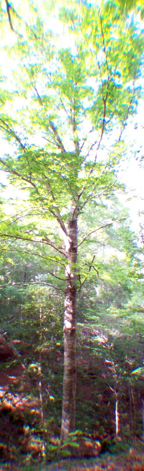
[/et_pb_text][/et_pb_column_inner][et_pb_column_inner type=”1_2″ saved_specialty_column_type=”3_4″ _builder_version=”3.0.47″][et_pb_text _builder_version=”3.12″ custom_margin=”|||-353px”]
Canyon Rim Woodlands Trail is a nice hiking trail in the area for two reasons:
- It is very convenient to get to and it has nice, well marked trails – most of which do not require a great deal of exertion.
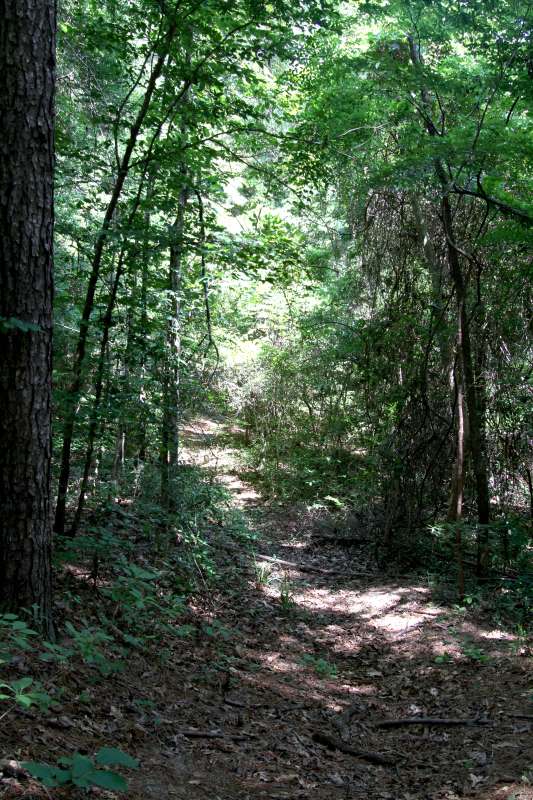 Champion International Corporation is to be commended and appreciated for providing this fine resource. The area includes evidence of an old logging road last used by mule and ox-drawn wagons over 75 years ago, a turpentine face used by turpentine collectors in the 1920s, and a gun emplacement used by Fort Polk trainees dueing World War II.
The whole trail is a comfortable 1.6 miles and is marked in three sections – 1 – Easy Walking; 2 – Moderate to Strenuous Walking; 3 – Difficult Walking. Even the “difficult” section of the trail was not hard on the Webmaster – a 54 year old male who get too little exercise and smokes 3 packs of cigarettes a day.
The magnificent tree to the left is even taller than it looks… the base of the trunk can not be seen because it is in a ravine well below the edge of the embankment showing at the bottom of the picture.
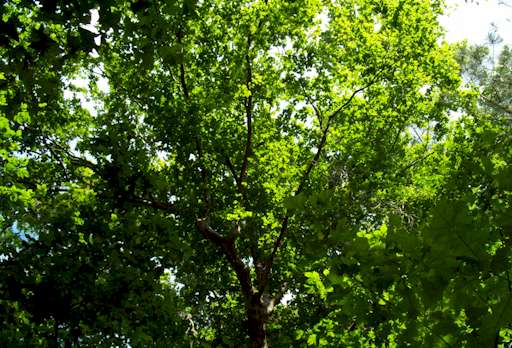
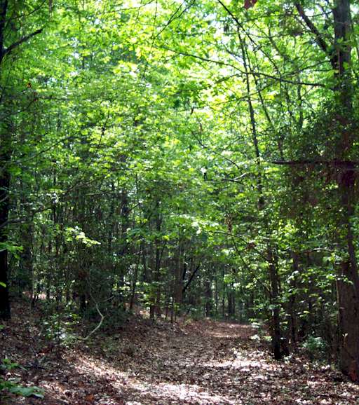
There are some remarkably beautiful trees here. The pictures do not adequately portray this lovely area… but, they are a beginning.
[/et_pb_text][/et_pb_column_inner][/et_pb_row_inner][et_pb_row_inner custom_padding=”0|0px|0|0px|false|false” admin_label=”Row” _builder_version=”3.0.47″][et_pb_column_inner type=”4_4″ saved_specialty_column_type=”3_4″ _builder_version=”3.0.47″][et_pb_text _builder_version=”3.12″]
 |  | DirectionsThe area is easy to find. It is right on Texas Highway 87 about 25 miles South of Hemphill and just 1.5 miles North of the intersection of Highway 87 and Highway R255. A sign on the road marks the turn into the well kept parking lot on the West side of Highway 87. GPS Coordinates: 31.06.945 N – 93.43.757 W | |
[/et_pb_text][et_pb_text _builder_version=”3.12″]This area was used for U. S. Army maneuvers in 1943 for World War II training.
In the early days of the timber industry, this area was logged with 8 wheel wagons and mule teams. Signs on the trail indicate an old logging road used this way.
[/et_pb_text][et_pb_text _builder_version=”3.12″]
 |  |  |  |
| All contents copyrighted ToledoBendLake.com | |||
[/et_pb_text][/et_pb_column_inner][/et_pb_row_inner][/et_pb_column][/et_pb_section]