Update 7/8/2010:
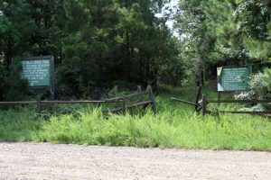
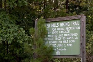
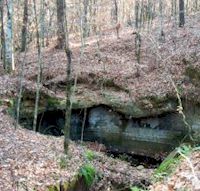
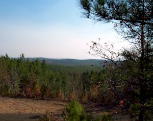
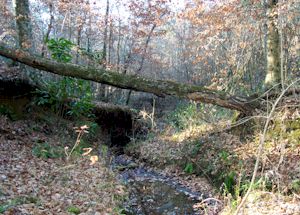
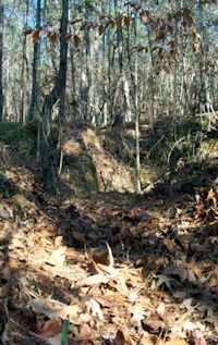
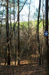
Unfortunately, this trail isn’t quite what it used to be. The road back is now a logging road – understandable since this is Boise-Cascade land. The logging truck drivers are extremely courteous – when they see a vehicle approaching they stop at a wide spot and wait for the vehicle to pass. That is a good thing because this is a very narrow road! The trail and signage is still there, but it hasn’t been maintained very well – if at all. Trees are in front of the signs and in front of the lookout platform. While a little overgrown in spots, the trail is still usable – for as far as I went. It appears the trail has been intentionally blocked off before going very far. It’s sad to see a nice trail like this lost… but, at this point in time it just isn’t worth the taxing drive back to it to get to it. The 3 pictures immediately below are from July 8, 2010.
Click any of the images immediately below for an enlargement
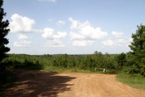
DirectionsTo find Stoker Hills, begin at the junction of Highway 6 and Highway 171 in Many, Louisiana. Go East on Highway 6 for 8 miles. The road into the hiking trail is on the right and is marked with signs, but you must be on the lookout for them. Turning off Highway 6 you will follow a one lane, well kept, dirt and rock road a distance of 3.1 miles to the beginning of the trail. There is a parking area and an observation deck here at the beginning / end of the trail. | |
 |  |
 |  |


